
Survey Equipment Calibration Services in Saudi Arabia | ISO/IEC 17025 Traceable Solutions by WASL
Al Khobar| Riyadh| Udhailiyah| Across Saudi Arabia
Request ServiceHome / Calibration / Survey Equipment Calibration
WASL provides professional Survey Equipment Calibration Services across Saudi Arabia, including Riyadh, Al Khobar, Dammam, Jubail, Udhailiyah, and major construction and industrial regions. ISO/IEC 17025 traceable calibration for total stations, theodolites, auto levels, digital levels, GPS/GNSS equipment, laser levels, and surveying instruments used in construction, engineering, infrastructure, and land surveying projects.


What is Survey Equipment Calibration?
Survey equipment calibration involves the precise verification and adjustment of measurement instruments used in land and construction surveying. Proper calibration ensures your equipment provides accurate, repeatable results, which is critical for engineering integrity, compliance, and project success.


Our Survey Equipment Calibration Services Include
Instruments Calibrated:
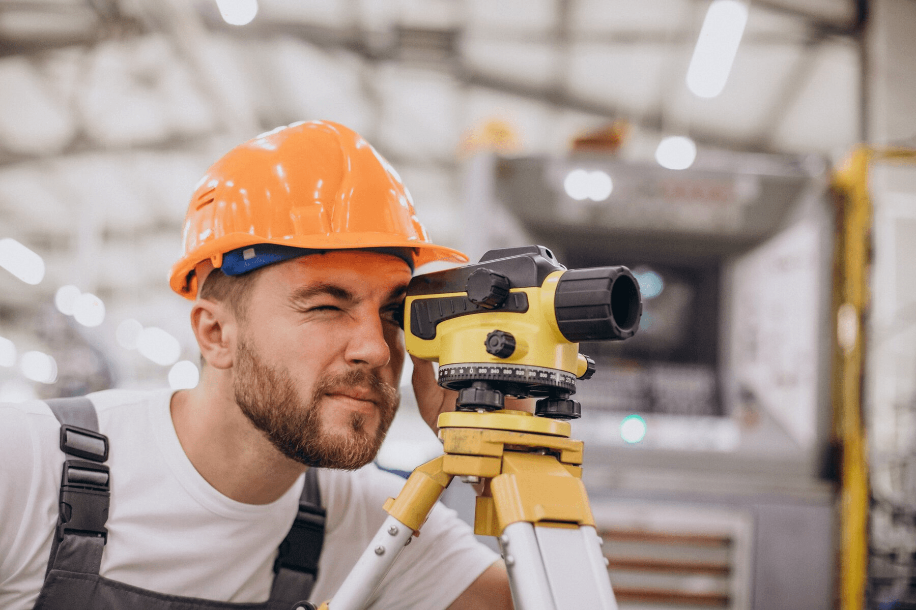
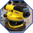
Auto Level / Dumpy Level
Checks and adjusts leveling accuracy
Theodolite
Verifies angular measurement precision
Total Station
Calibration of both angle and distance measurements
GNSS / GPS Devices
Ensures positional accuracy and signal reliability
Survey Equipment Calibration Services in Saudi Arabia
Accurate surveying is essential for construction, engineering, infrastructure, and land development projects. Survey Equipment Calibration Saudi Arabia services help ensure that surveying instruments deliver reliable and repeatable measurements in demanding field conditions. WASL provides professional calibration support for total stations, theodolites, auto levels, digital levels, GPS/GNSS devices, laser levels, and other surveying instruments.
Our calibration process verifies instrument performance against traceable reference standards and identifies measurement errors that could affect site accuracy. Properly calibrated equipment helps surveyors achieve dependable angle, distance, elevation, and positioning measurements while reducing the risk of costly rework and project delays.
WASL offers flexible Survey Equipment Calibration Services in Saudi Arabia for companies, contractors, engineering firms, survey teams, and industrial organizations. Depending on the equipment and calibration requirements, services can be arranged through laboratory-based or onsite support. Each service is supported with appropriate calibration documentation to help organizations maintain measurement records and quality requirements.
With experienced technicians, modern calibration equipment, and a focus on accuracy, WASL helps customers keep their surveying instruments ready for reliable project performance.
Reliable Calibration for Total Stations, Levels & GNSS Equipment
Surveying instruments are frequently exposed to dust, vibration, temperature changes, transportation, and intensive field use. Over time, these conditions can affect measurement performance. Regular Survey Equipment Calibration helps detect deviations and confirms that instruments continue to provide dependable results for surveying and construction applications.
WASL provides Survey Equipment Calibration Services in Riyadh, Al Khobar, Dammam, Jubail, Udhailiyah, and across Saudi Arabia. Our capabilities include calibration and verification support for total stations, theodolites, auto/dumpy levels, digital levels, GPS/GNSS devices, and related survey equipment. Calibration is performed using traceable standards and controlled procedures to support accurate and consistent measurement results.
Choosing professional Survey Equipment Calibration Saudi Arabia services can help improve field accuracy, reduce measurement-related errors, support quality management requirements, and maintain proper equipment records. Calibration certificates and service documentation provide useful evidence for internal quality checks, audits, and project documentation.
Whether you need routine calibration, periodic verification, or onsite support for multiple instruments, WASL provides practical calibration solutions designed around your operational requirements. Keep your surveying equipment accurate, reliable, and ready for critical construction and engineering work with professional calibration support from WASL.
Why Choose WASL?
ISO/IEC 17025 Compliant
ISO/IEC 17025 Compliant Procedures
Modern Equipment
Modern Calibration Equipment & Tools
Trained Experts
Trained and Certified Calibration Experts
Flexible Services
On-Site and Laboratory-Based Services
Rapid Calibration Services
Fast Turnaround Times & Official Calibration Reports
Industries We Serve
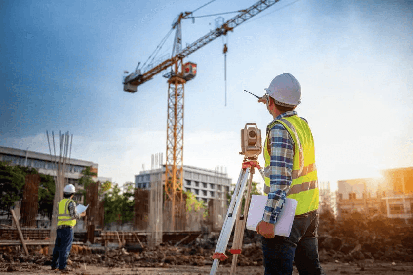
Construction & Civil Engineering
For accurate site layouts and structural alignment
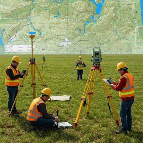
Land Surveying & Geospatial
For precision mapping and boundary determination
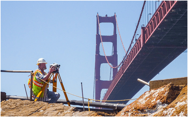
Infrastructure Projects
Roads, bridges, and utility installation accuracy

Oil & Gas Sector
For plant, pipeline, and facility layout
Serving Locations Across Saudi Arabia
Survey equipment calibration is the process of testing and adjusting instruments like total stations, theodolites, auto levels, and GNSS/GPS devices against certified reference standards to ensure they produce accurate angle, distance, and positional measurements.
Even small measurement errors in survey equipment can lead to costly mistakes in construction, land boundaries, and engineering projects. Calibration ensures instruments remain precise, reliable, and compliant with project and regulatory requirements.
Most survey instruments should be calibrated at least once a year, though equipment used heavily in the field, transported frequently, or exposed to rough handling may need calibration every 6 months or before major projects.
ISO/IEC 17025 is the international standard for testing and calibration laboratory competence. Calibration under ISO/IEC 17025 accreditation ensures traceable, internationally recognized results accepted by clients, consultants, and regulatory authorities in Saudi Arabia.
Commonly calibrated instruments include auto levels/dumpy levels, theodolites, total stations, and GNSS/GPS devices, covering leveling accuracy, angular measurement, distance measurement, and positional accuracy.
Auto level and dumpy level calibration checks and adjusts leveling accuracy, ensuring the instrument provides a true horizontal line of sight for accurate height and elevation measurements.
Theodolite calibration verifies angular measurement precision, confirming the instrument accurately measures horizontal and vertical angles used in land surveying and construction layout.
Total station calibration covers both angle and distance measurements, testing the instrument's electronic distance measurement (EDM) component alongside its angular accuracy to ensure combined precision.
GNSS/GPS device calibration ensures positional accuracy and signal reliability, confirming the device correctly interprets satellite signals to deliver precise location data for surveying and mapping work.
Yes. Accredited calibration providers issue a calibration certificate detailing the test date, measured results, tolerances, and traceability to international standards — often required for project documentation and client audits.
An instrument that fails calibration typically requires adjustment or repair before being retested. Continuing to use an out-of-tolerance instrument risks introducing errors into survey data and downstream project work.
Construction, civil engineering, land surveying, infrastructure development, and mining sectors all depend on calibrated survey instruments to maintain accuracy in mapping, layout, and measurement work.
In many cases, yes — providers can perform field verification and calibration checks on-site, though certain precision calibrations (such as full theodolite or total station recalibration) are typically done in a controlled lab environment for best accuracy.
Calibration time varies by instrument — auto levels may take under an hour, while total stations and GNSS devices with multiple measurement functions can take longer. Turnaround is often faster when equipment is booked in bulk.
Look for ISO/IEC 17025 accreditation, calibration traceable to international standards, experience with your specific instrument brands (total stations, theodolites, GNSS), fast turnaround, and certificates accepted by clients and regulatory bodies.


Ensure Every Measurement Is Accurate
Don’t let inaccurate surveying equipment affect your project results. Schedule your survey equipment calibration with WASL today and keep your instruments performing with confidence. Our professional Survey Equipment Calibration Services in Saudi Arabia help verify the accuracy and reliability of total stations, theodolites, levels, GPS/GNSS equipment, and other surveying instruments.
Contact WASL today to schedule your calibration service. Calibrate Today. Measure with Confidence.